Pune PMC's Underground Utility Mapping Initiative: The Growing Role of Smart Infrastructure Planning in India
May 25, 2026
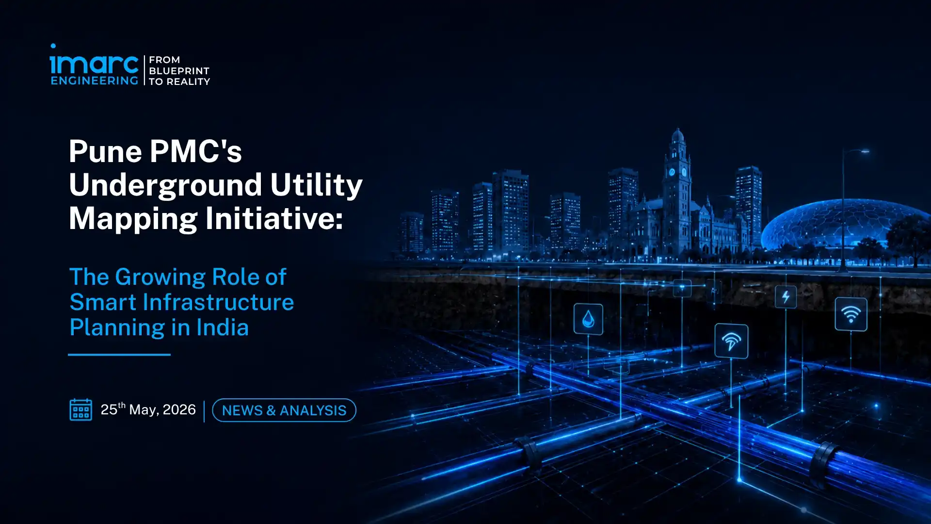
On May 15, 2026, the Pune Municipal Corporation's Integrated Command and Control Centre launched a citywide underground utility mapping initiative covering nearly 2,000 kilometres of underground water pipelines, drainage networks, and utility cables, using advanced software systems from its ICCC facility on Sinhagad Road.
Surveys covering 600 km along major road stretches are already underway, with the remaining work planned in phases through the current financial year. The same week, Pune's newly elected PMC, signalled that smart infrastructure development would be a central pillar of its civic agenda.
This initiative is not an isolated municipal project. It reflects a broader national shift in which Indian cities are increasingly adopting GIS mapping, digital command centres, and data-driven infrastructure systems to improve utility management, urban planning, and emergency response capabilities. In 2026, smart infrastructure planning in India is no longer a Smart Cities Mission deliverable, it is becoming an operational baseline for major municipal corporations.
What Pune's ICCC Is Actually Building: Scope, Technology, and Operational Impact
The PMC's underground utility mapping initiative is being executed through the Integrated Command and Control Centre, the nerve centre of Pune's smart city operations. The ICCC is not simply a mapping database; it is an integrated operational platform. Beyond the 2,000 km underground utility survey, the ICCC is simultaneously developing software to identify illegal properties, unauthorised constructions, and property tax deviations through digital mapping and data analysis.
It is monitoring traffic movement under the Advanced Traffic Management System, managing the city's surveillance and emergency response coordination, and has introduced drones on a trial basis at the Katraj fire station to provide real-time visuals during emergencies, with a plan to expand to additional fire stations across the city.
The underground utility mapping project addresses a specific and chronic operational failure in Indian municipal management: the absence of accurate, real-time records of where subsurface infrastructure runs. Without a verified utility map, road-cutting work by one department regularly damages pipes, cables, and conduits belonging to another. Emergency repairs become guesswork. In many cases, sewage lines and water pipelines run dangerously close to each other. Without spatial mapping data, these contamination risks cannot be accurately identified or managed.
PMC officials stated explicitly that the mapping project is expected to identify locations where sewage lines may be coming into contact with water pipelines, a public health concern in a city of five million that no amount of surface-level repair work can address without subsurface data. The GIS-based mapping resolves this by giving every department, water, drainage, electricity, telecom, roads, a shared digital reference layer that governs where they can and cannot dig, and where existing infrastructure must be protected.
GIS-Based Urban Planning in India: The National Policy Architecture Behind the Shift
Pune's initiative sits within a national policy architecture that has been systematically building the mandate and funding base for GIS-based urban planning in India over the last several years. The AMRUT 2.0 mission, covering 500 cities, has proposed 40-layer GIS mapping of all mission cities, with a dedicated sub-scheme covering geospatial database generation, masterplan formulation, and institutional capacity building.
For Class-II towns with populations between 50,000 and 99,999, AMRUT 2.0 has introduced GIS-based masterplan preparation as a programme requirement, extending the geospatial infrastructure mandate well beyond the largest metros.
The Smart Cities Mission, which established Integrated Command and Control Centres (ICCCs) across 100 Indian cities before its formal completion in June 2023, established 100 Integrated Command and Control Centres across India — Pune's ICCC being among the most operationally mature. These ICCCs have become the institutional vehicles through which municipal corporations like PMC are expanding their digital infrastructure mandate beyond the original Smart Cities programme scope.
The Urban Platform for delivery of Online Governance (UPYOG), the Urban Outcomes Framework 2022, and India's National Geospatial Policy 2022 collectively provide the policy scaffolding for what cities like Pune are now executing at the operational level.
GIFT City and the Greenfield Smart Infrastructure Benchmark
While Pune represents the retrofitting of smart infrastructure into an existing, complex urban environment, GIFT City in Gujarat’s Gandhinagar-Ahmedabad corridor represents the most advanced greenfield benchmark for smart infrastructure planning that India has produced.
GIFT City, one of India's first operational smart cities, features underground utility tunnels that co-locate all utility services in a single accessible corridor, eliminating road-cutting entirely. Its district cooling system, automated waste collection, and comprehensive digital infrastructure create a built environment where the GIS mapping that Pune is now undertaking was embedded at the design stage.
GIFT City continues to attract growing domestic and international interest from banking, financial services, and technology companies, and its infrastructure planning model is influencing the design specifications for India's new greenfield industrial cities, including Dholera Smart City and the industrial corridors under the National Industrial Corridor Development Corporation.
The contrast between Pune's retrofitting approach and GIFT City's greenfield model defines the two parallel tracks on which smart infrastructure development in India is advancing simultaneously. India has over 4,000 Urban Local Bodies, the vast majority operating with no digital utility records, no GIS platform, and no ICCC capability.
Scaling the Pune model to even the top 500 cities under AMRUT 2.0 represents a multi-thousand-crore urban infrastructure digitisation programme. The technology stack- GIS platforms, IoT sensors, digital twin models, AI-based pattern recognition for property tax and utility anomalies, is commercially mature and increasingly affordable. The binding constraint is institutional capacity and project execution, not technology availability.
Digital Twin Urban Planning India: The Next Layer
Pune's underground utility mapping is the data foundation layer. The next layer, already being deployed in more advanced smart city programmes globally and increasingly discussed in India's urban planning community, is the digital twin. A live, continuously updated virtual model of the city's physical infrastructure that allows planners to simulate interventions, identify failure risks, and optimise maintenance scheduling before physical work begins.
The 3D geospatial model of Shanghai, which won the World Smart City award, maps underground and indoor facilities, enabling agencies to manage utility systems, fire control, weather forecasting, and urban administration from a single integrated platform. India's trajectory is toward this model.
The GIS infrastructure management for municipal corporations in India is building today-utility maps, ATMS integrations, drone-assisted emergency response, property tax digitalisation, creates the data assets from which digital twin platforms can be built. Pune's ICCC already integrates traffic management, emergency response, property compliance, and now utility infrastructure into a single operational centre.
Adding a 3D digital twin layer to this platform is technically feasible with the data infrastructure being created; it is a question of the next investment cycle. Thrissur Municipal Corporation's integration of GIS with IoT sensors for water network management, Varanasi Smart City's smart governance initiatives, and GIFT City's comprehensive digital infrastructure all point toward the same trajectory: Indian cities converging on integrated, data-driven infrastructure management as the operating standard.
What This Means for Infrastructure Planning, Consulting, and Investment
The commercial implications of India's smart infrastructure shift are significant and immediate. Every infrastructure planning project, road widening, metro corridor development, industrial park development, data centre construction, water supply augmentation, that intersects with an existing urban area now requires GIS-based utility conflict assessment as a pre-construction step.
The absence of accurate underground utility data has historically been a primary cause of construction delays, cost overruns, and damage to third-party infrastructure in Indian urban projects. As PMC's mapping programme and similar initiatives in Mumbai, Bengaluru, Hyderabad, and Chennai build out geospatial utility databases, this data becomes a planning input that infrastructure developers and project managers can access and must account for.
For smart city infrastructure consultants, GIS platform integrators, drone technology providers, and digital infrastructure planning firms, Pune’s initiative signals expanding demand beyond the original 100 Smart Cities Mission locations. The AMRUT 2.0 requirement for GIS-based masterplans across 500 cities, along with the National Geospatial Policy 2022 framework for open government data sharing, is creating a broader procurement pipeline for smart infrastructure and urban digitalisation services.
The demonstrated operational value of platforms such as Pune’s Integrated Command and Control Centre (ICCC) indicates that data-driven urban management is moving beyond the pilot stage in India. As implementation accelerates through 2026–28, digital infrastructure and geospatial planning capabilities are increasingly becoming part of mainstream urban governance and infrastructure planning expectations.
Pune's 2,000 km mapping project is a municipal operation. Its implications are national — signalling that data-driven infrastructure management is becoming the baseline standard for every Indian city that intends to grow.
Talk to our experts for utility planning and smart infrastructure consulting support through IMARC Engineering
Latest News
-
Puri Greenfield Airport Gets Environmental Clearance, Advancing INR 5,631 Crore Project in Odisha
October 09, 2026
-
IEX Subsidiary Applies for Coal Exchange Registration Under India’s New Coal Exchange Rules 2026
September 30, 2026
-
India Pushes Domestic Shipping Container Manufacturing with INR 10,000 Crore Assistance Scheme
September 25, 2026
-
India’s Growing GCC Sector Brings Greenfield Setup and Regulatory Compliance into Focus
September 24, 2026
-
Uttar Pradesh Approves INR 200+ Crore Ethanol Plant at Chhata Sugar Mill in Mathura
September 23, 2026
Trusted by Industry Leaders
We partner with global enterprises and ambitious businesses across sectors to deliver operational excellence, strategic insights, and sustainable growth through integrated solutions.











Success in Their Words
Real feedback from clients across industries. Discover how our solutions delivered measurable impact and operational excellence.

I wanted to express my sincere appreciation for your efforts in handling this matter. Your dedication and commitment have been truly commendable, and it is evident that you have put in tremendous hard work and expertise into resolving the issues at hand. We are greatly interested in continuing our collaboration with you in the future, as your professionalism and reliability have made you a trusted partner. Thank you once again for your invaluable contribution. We look forward to strengthening our partnership ahead.

It has been a pleasure working with the IMARC team. The insights provided were structured, clear, and highly valuable, helping us strengthen both our technical and financial planning with confidence. We deeply appreciate the team’s professionalism, responsiveness, and attention to detail throughout the engagement. Every requirement was well understood and effectively incorporated, resulting in a comprehensive and actionable output. Overall, our experience has been excellent, and I would gladly recommend IMARC to organizations seeking a reliable research partner.

Your service is truly exceptional. Working with the IMARC team has been a seamless and professional experience. The clarity of communication, responsiveness to queries, and consistent support at every stage made the entire engagement highly efficient. The insights shared were well-structured, practical, and perfectly aligned with our requirements, helping us make informed decisions with confidence. Overall, the dedication and professionalism demonstrated by your team stand out, and I would be glad to recommend IMARC as a reliable and trustworthy research partner.

IMARC did an outstanding job in preparing our study. They were punctual, precise, and consistently responsive throughout the entire process. The team delivered all the data we required in a clear, well-organized, and highly professional format. Their strong attention to detail, combined with their ability to meet every deadline without compromising quality, truly set them apart. Overall, their reliability and commitment made them an exceptional partner for our project, and we would gladly work with them again in the future.

IMARC made the whole process incredibly easy from start to finish. Everyone I interacted with via email was polite, professional, and straightforward to deal with, always keeping their promises regarding delivery timelines and remaining consistently solutions-focused. From my very first contact, I appreciated the professionalism and support shown by the entire IMARC team. I highly recommend IMARC to anyone seeking timely, affordable, and reliable information or advice. My experience with IMARC was excellent, and I truly cannot fault any aspect of it.

I’d like to express my sincere gratitude for the excellent work you accomplished with the study. Your ability to quickly understand our requirements and deliver high-quality results under tight timelines truly reflects your expertise, exceptional work ethic, and unwavering commitment to your customer’s success. The professionalism and responsiveness you demonstrated throughout the process made a significant difference. Our entire team and company are incredibly thankful for your dedication, reliability, and support. Once again, thank you for your outstanding contribution.
Ready to Experience the IMARC Advantage?
Whether you're planning a new facility, expanding operations, optimizing performance, or facing complex challenges—IMARC Engineering brings the expertise, experience, and commitment needed for success.